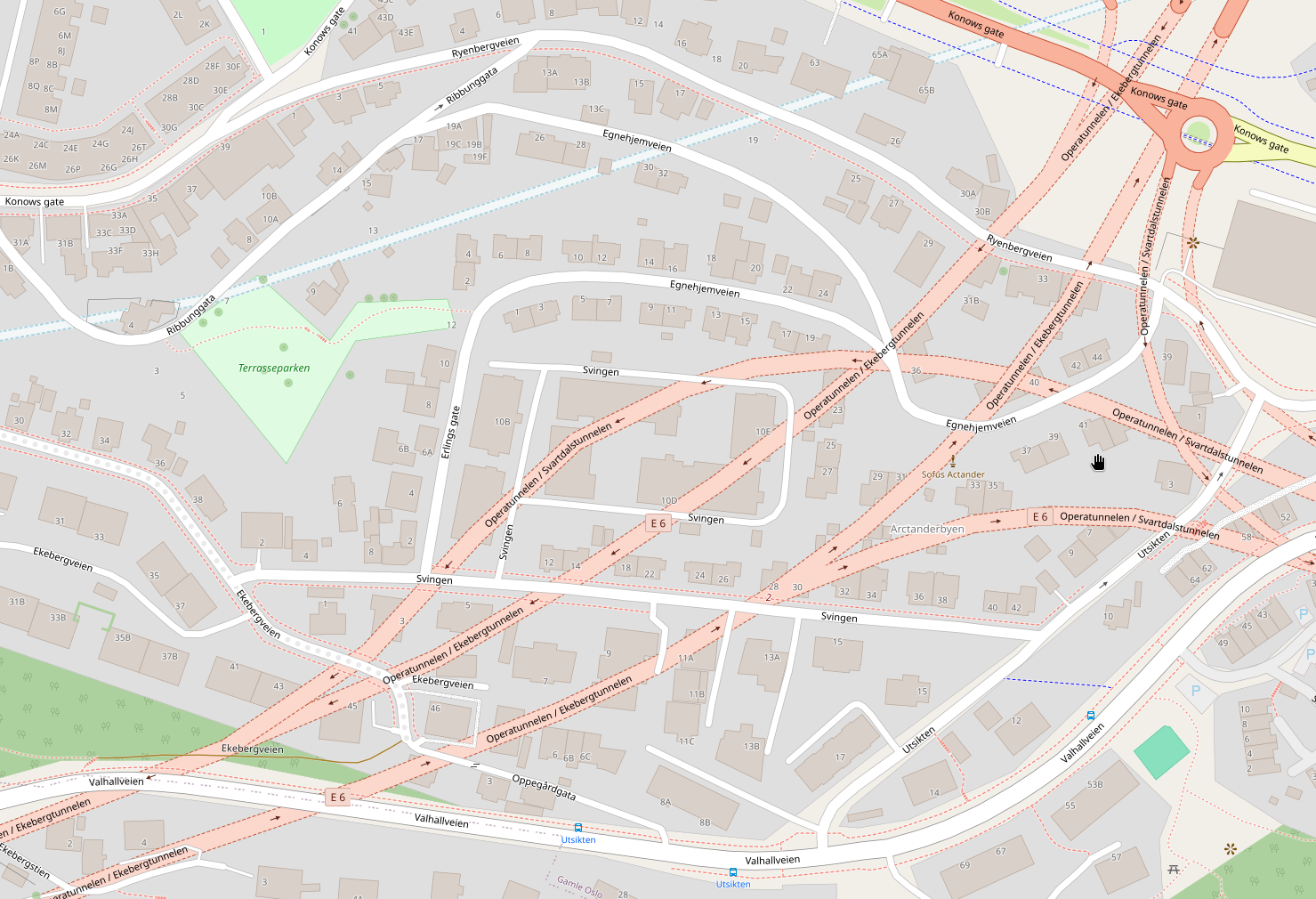
Screenshot of a part of a map with lots of orange tunnels cris crossing it, and a blue line going through it
https://cdn.masto.host/tutoteketno/media_attachments/files/117/302/714/468/180/820/original/88ec4f9a517e60a1.png

 Børge
Børge
I'm quite annoyed that it's impossible to turn off seeing underground features in OpenStreetMap. That blue line, is that a shortcut I can walk? No, it's a river in pipes! Even in apps made to navigate, even when you select navigation on foot or bicycle, they still all (that I've tried) show you highway tunnels! I can't go there! They are only a distraction, often standing more out on the map than the roads I can actually use (broad, orange vs thin, white)
GNU social JP is a social network, courtesy of GNU social JP管理人. It runs on GNU social, version 2.0.2-dev, available under the GNU Affero General Public License.
 All GNU social JP content and data are available under the Creative Commons Attribution 3.0 license.