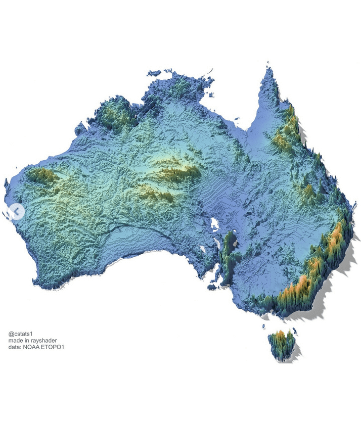
A 3D shaded relief map of Australia rendered in a color gradient representing elevation and terrain: deep blues indicate low-lying coastal areas and basins, greens and yellows show mid-elevation plains and plateaus, while oranges and reds highlight higher elevations such as the Great Dividing Range along the east coast and parts of the Flinders Ranges in the south. Tasmania appears as a smaller inset island with similar topographic shading. The map has no labels, borders, or scale, emphasizing physical geography through texture and color. Created in RayShade using NOAA ETOPO1 bathymetric and topographic data, with credit to @cstats1 in the lower-left corner.
https://cdn.masto.host/vissocial/media_attachments/files/116/641/923/229/821/542/original/5fd34881a6b454bf.png
 Information Is Beautiful
 All GNU social JP content and data are available under the