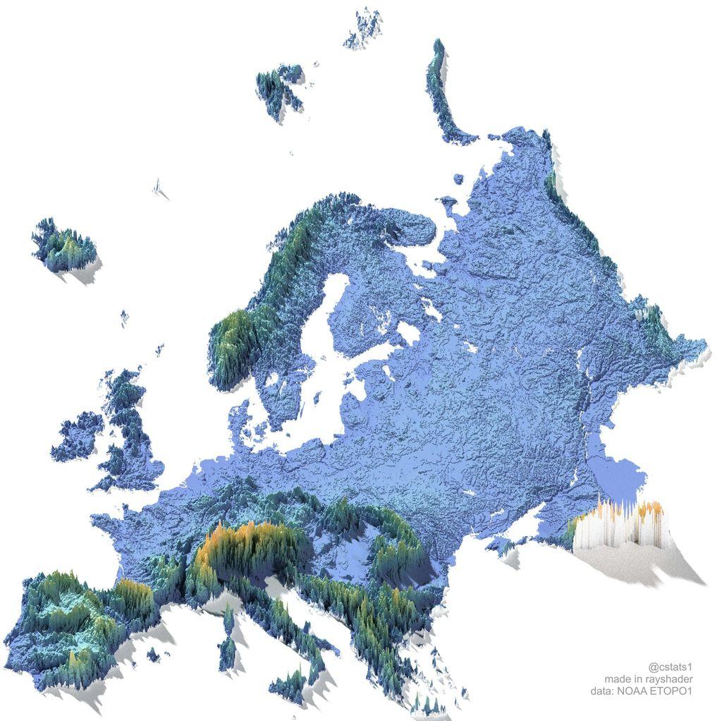
A three-dimensional digital elevation model of Europe, rendered as a relief map. The map shows the topography of the continent, with different colors representing varying altitudes. Low-lying areas, such as the northern European plain, are depicted in light blue and green, while mountainous regions like the Alps, Pyrenees, and Carpathians are shown as elevated spikes in shades of orange and brown. The map has a slight drop shadow, giving it a floating appearance, and shows a range of terrain from the British Isles to the Ural Mountains and Scandinavia. The bottom right corner credits the creator, @cstats1, and the data source, NOAA ETOPO1.
https://cdn.masto.host/vissocial/media_attachments/files/116/216/306/192/180/292/original/6962baaf497d8651.jpeg
 Information Is Beautiful
 All GNU social JP content and data are available under the