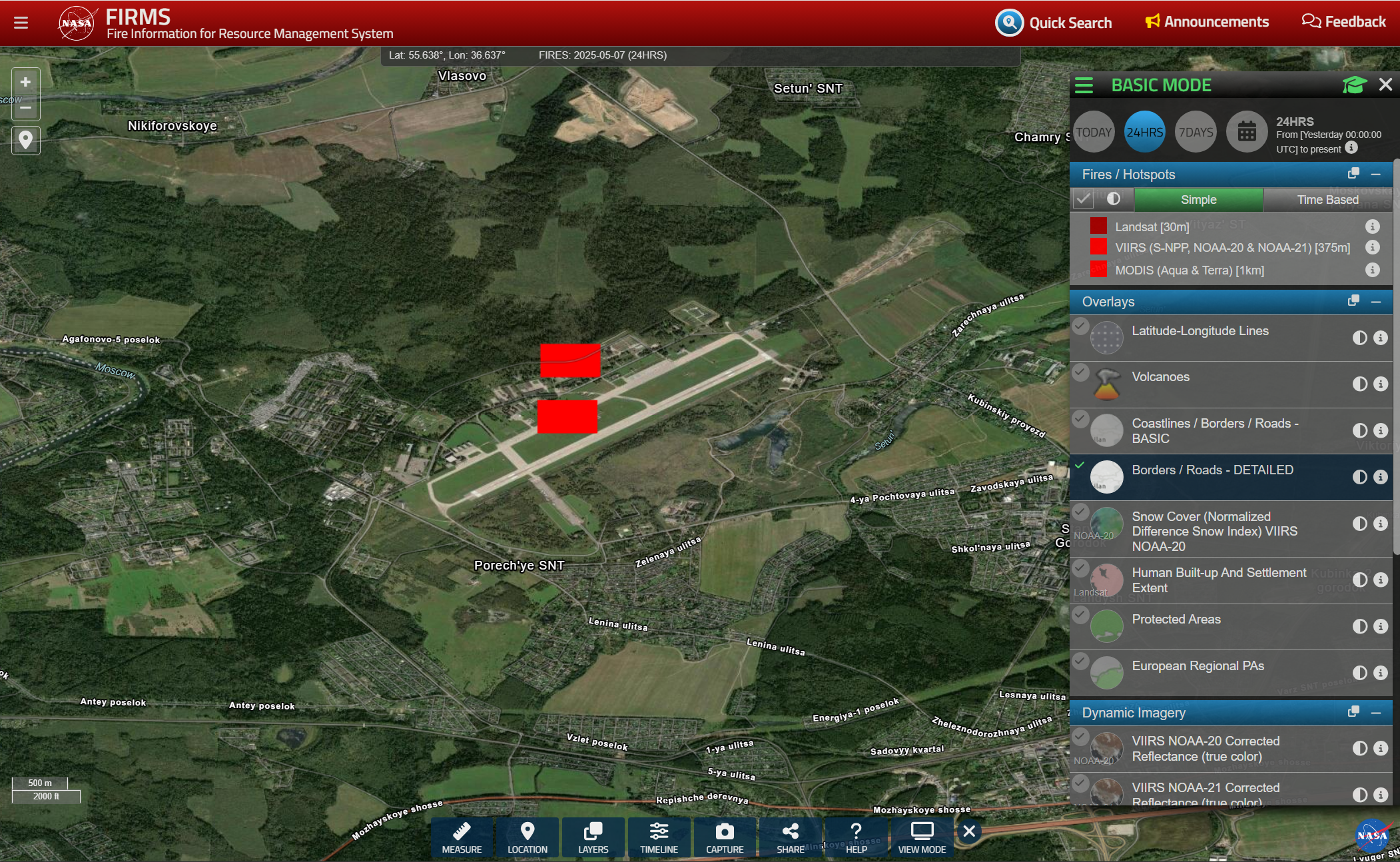
Screenshot of NASA FIRMS satellite fire mapping application, showing a view centered on an airfield near 55.6 N, 36.6 E. Two fire indicators appear near the center, one on an apron / taxiway just north of the single main runway, and another just a bit further north
https://files.mastodon.social/media_attachments/files/114/465/114/027/536/537/original/5e9efd5763f4a1fa.png