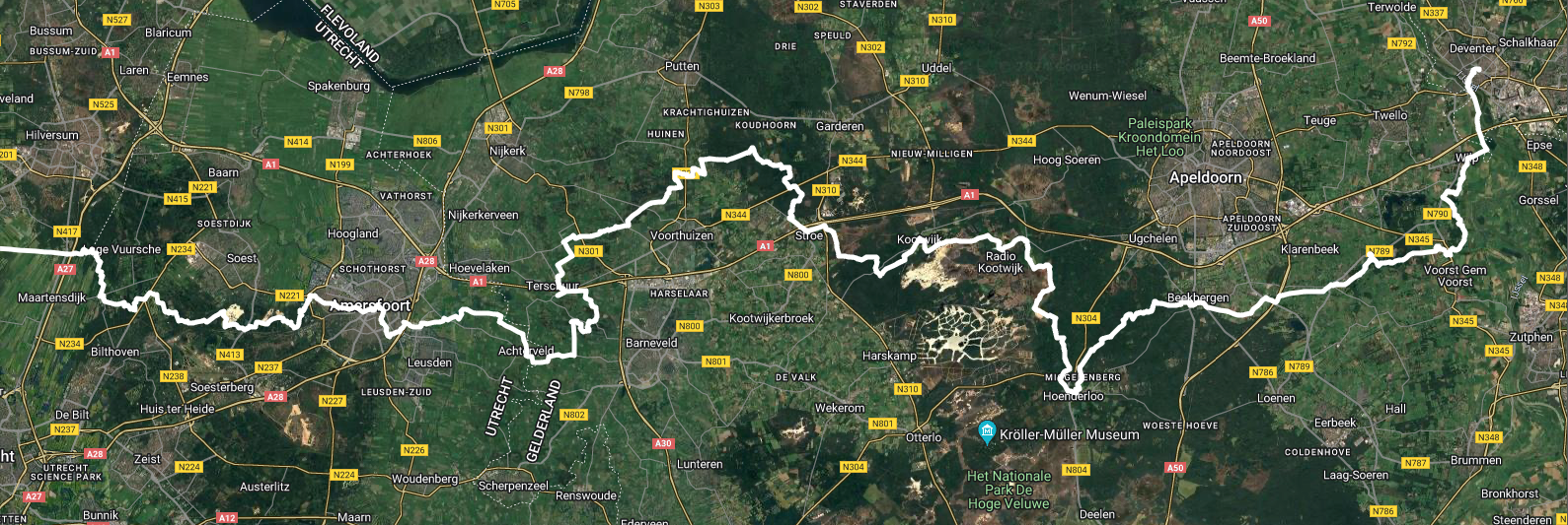
Satellite view from Utrecht to Deventer in the Netherlands, with a white line depicting a hiking route.
https://zug.network/system/media_attachments/files/113/612/407/173/429/727/original/c6e9a4c6032dc1b3.png
I don't know if I'm adding addition hikes to this series this year (it serves as a backup route during the off-season for all sorts of reasons), but this is my progress on the #E11 #Marskramerpad this year, from Hollandsche Rading to Deventer.
GNU social JP is a social network, courtesy of GNU social JP管理人. It runs on GNU social, version 2.0.2-dev, available under the GNU Affero General Public License.
![]() All GNU social JP content and data are available under the Creative Commons Attribution 3.0 license.
All GNU social JP content and data are available under the Creative Commons Attribution 3.0 license.