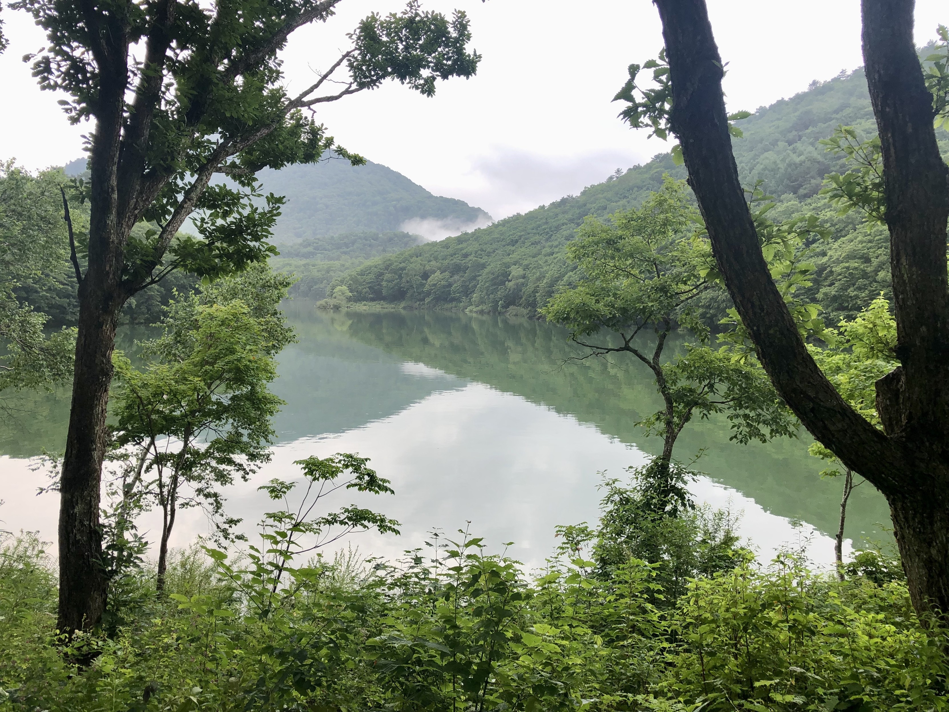
A high-elevation pond with mist covered mountaintops in distance
https://media.mas.to/media_attachments/files/112/922/534/154/899/260/original/df9709a1f3d0db59.jpeg
Biwa Pond is a natural body of water at an elevation of 4,500 feet in Shiga Kogen in the mountains of northern Nagano Prefecture. It has a depth of 68 feet and is apparently used for limited electricity generation. It's name derives from the shape of the pond resembling a Japanese short necked lute (biwa).
🎸 💧#長野県 #志賀高原 #山ノ内町 #Japan #Nagano
琵琶池は、長野県北部の山岳地帯、志賀高原の標高 1,396 メートルに位置します。水深 21 メートルの自然の水域で、限られた電力の発電に使用されているようです。池の形が日本の短い首を持つ弦楽器 (琵琶) に似ていることから、この名前が付けられました。
GNU social JP is a social network, courtesy of GNU social JP管理人. It runs on GNU social, version 2.0.2-dev, available under the GNU Affero General Public License.
![]() All GNU social JP content and data are available under the Creative Commons Attribution 3.0 license.
All GNU social JP content and data are available under the Creative Commons Attribution 3.0 license.