map of europe, with many roads highlighted in many colours
https://cdn.masto.host/enosmtown/media_attachments/files/112/123/442/535/989/239/original/df5773cb3712764f.png
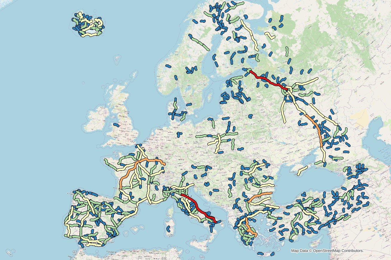
Here's the top 1000 longest roads in Europe (connected OSM `highway`'s with the same `name` tag). Shortest is ~53 km long. (lots hidden behind others).
This shows some clear regional differences, which might have more with how data is mapped in #OpenStreetMap, but might also reflect how different cultures *name* roads.
GNU social JP is a social network, courtesy of GNU social JP管理人. It runs on GNU social, version 2.0.2-dev, available under the GNU Affero General Public License.
![]() All GNU social JP content and data are available under the Creative Commons Attribution 3.0 license.
All GNU social JP content and data are available under the Creative Commons Attribution 3.0 license.