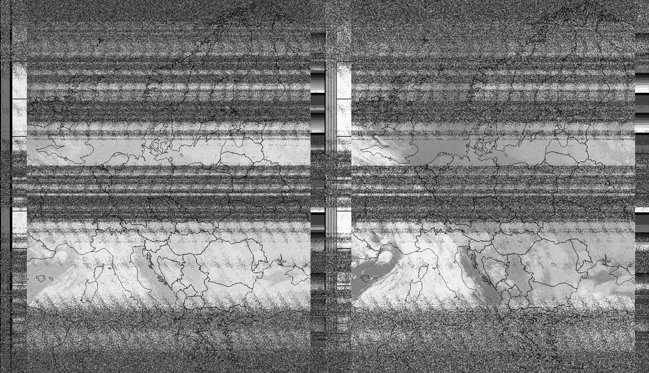
Grayscale map of Europe, with several very noisy parts. Border lines are drawn on top. You can see a cloud cover on Italy.
https://assets.chaos.social/media_attachments/files/112/061/528/357/186/412/original/f03b58a0472b0d32.png
33: Decode images from a weather satellite!
I couldn't stop trying to capture a weather satellite, it's just too cool to receive an image from space!
This evening, an American satellite called NOAA-15 passed right over us, so I thought I'd try again. And this time, I got parts of an image! \o/
This is real-time data! At night, both transmitted images are infrared recordings.
I recorded the FM signal using SDR++, and then decoded the image using noaa-apt, which also added country outlines.
GNU social JP is a social network, courtesy of GNU social JP管理人. It runs on GNU social, version 2.0.2-dev, available under the GNU Affero General Public License.
![]() All GNU social JP content and data are available under the Creative Commons Attribution 3.0 license.
All GNU social JP content and data are available under the Creative Commons Attribution 3.0 license.